Weather Events – Farmers – Councils
Service Overview
Rapid Response Drone Services for Weather Events & Emergencies Subtitle: Instant aerial intelligence for Councils, Farmers, and Civil Defence. Locate road blockages, downed trees, and flood damage quickly and safely.
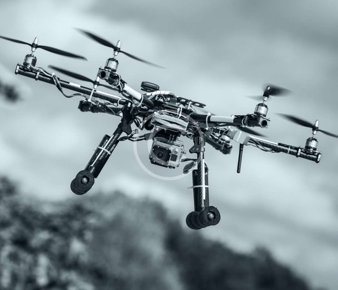
RAPID AERIAL ASSESSMENT
When weather events strike, speed and safety are paramount. North Canterbury Drone Services provides critical aerial support to Farmers, Councils, and Utility Providers to assess damage without putting personnel at risk.
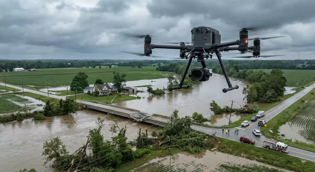
Our “Weather Events” service covers large areas quickly, giving decision-makers a real-time bird’s-eye view of the situation. Whether it is identifying road blockages after a storm, locating downed trees on power lines, or mapping floodwaters to plan rescues, we provide the visual data you need to form a thorough recovery plan.
We keep your ground teams out of harm’s way by identifying dangerous situations from the air, allowing you to deploy resources exactly where they are needed most.
Call Us
WHY USE DRONES FOR EMERGENCY RESPONSE?
Deploying drones during or after weather events ensures faster decision-making and safer recovery operations.
ENHANCED SAFETY
RAPID COVERAGE
PRECISION DATA
ACCESS THE INACCESSIBLE
WHO WE HELP & WHAT WE INSPECT
Suitable for Civil Defence, Local Councils, Farmers, and Utility Companies dealing with the aftermath of Earthquakes (EQ), High Winds, Floods, and Storms.
- Roading & Infrastructure: Locate road blockages, slips, and downed trees preventing access. Assess bridge integrity before crossing.
- Public Safety: Identify hazards like dangling power lines or unstable structures in public spaces.
- Farming & Stock: Locate lost or isolated stock after floods or snow events. Check fence lines and water troughs for damage without driving the farm.
- Utilities & Water Systems: Rapidly spot water leaks in council systems or irrigation lines visible from the air, saving water and preventing further erosion.
- Disaster Mapping: Create up-to-date maps of flood spread or fire damage to support insurance claims and council reporting.
FAQs
We strive for immediate availability for emergency calls. Our equipment is portable and can be deployed as soon as it is safe to fly (winds under operational limits).
Contact us on 027 352 0122 for urgent requests.
While we have rugged equipment, safety is our priority. We can fly in light rain and moderate winds, but severe conditions may require a brief wait. However, we are often the first asset deployable as soon as the worst weather passes.
Yes, we can set up a secondary monitor on the ground so Incident Commanders, Farmers, or Council staff can see exactly what the drone sees in real-time to make immediate decisions.
Have a cool project?
Let's Start