Site Surveying – Aerial viewing
Service Overview
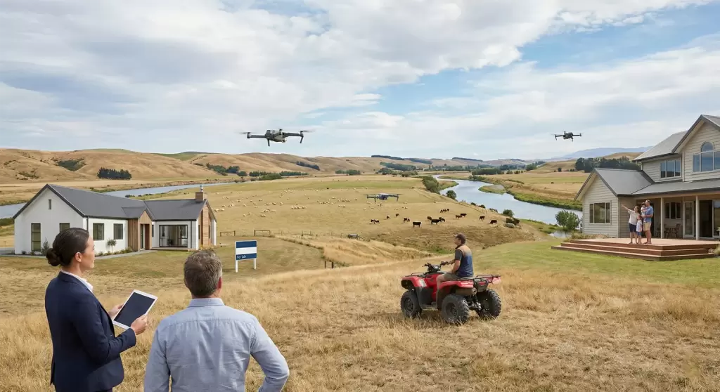
North Canterbury Drone Services captures stunning high-quality aerial photography of residential homes and rural properties, showcasing vibrant interior and exterior colors from every angle to give buyers and owners a comprehensive bird’s eye view. Certified pilots deliver professional imagery that highlights property features, boundaries, and landscapes safely and efficiently.
Stunning Aerial Property Photography
North Canterbury Drone Services elevates residential and rural property marketing with breathtaking high-quality aerial photography that captures the rich colors and intricate details of interiors, exteriors, landscapes, and boundaries from unique bird’s eye perspectives—providing real estate agents, homeowners, and farmers with professional 4K imagery and cinematic video tours showcasing every angle to impress potential buyers, document lifestyle estates, or survey agricultural land across North Canterbury with safe, efficient drone technology that delivers vibrant, print-ready visuals within 24-48 hours.
Call Us
Key Benefits
Aerial shots provide unique perspectives that ground photos can’t match, enhancing marketing appeal for real estate sales, personal records, or farm assessments. Vibrant colors and full coverage boost buyer interest and perceived value.
Applications and Uses
Perfect for real estate agents marketing listings, homeowners documenting properties, farmers surveying land, or insurers assessing rural assets in North Canterbury.
- Real Estate: Pre-listing photography for faster sales.
- Rural Farms: Boundary mapping and livestock overviews.
- Personal Use: Family estates or lifestyle property showcases.
FAQs
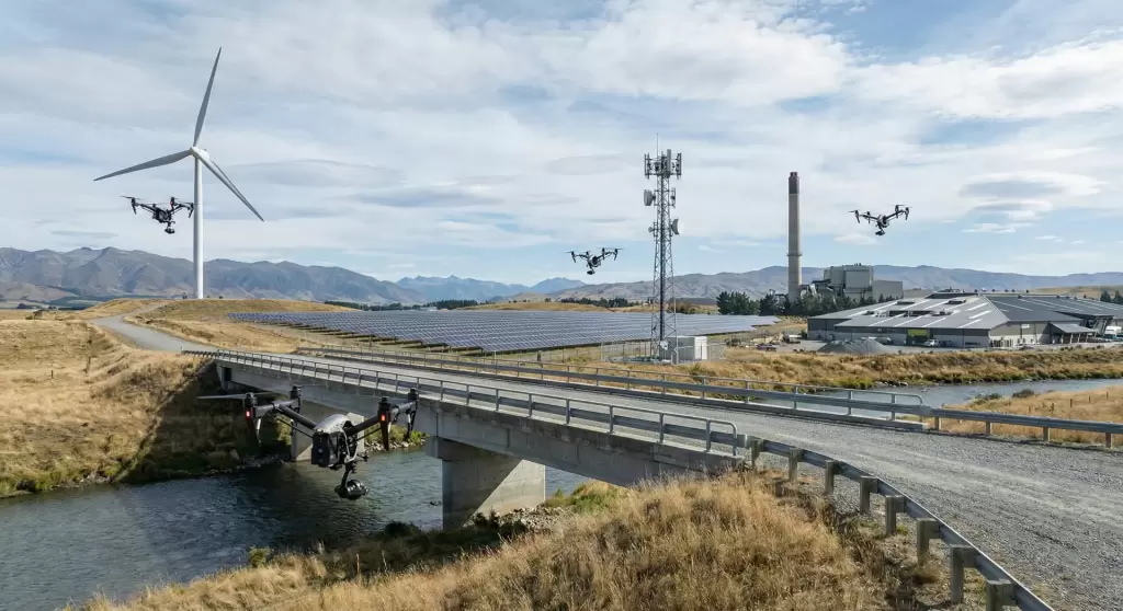
Roofs, wind farms, solar panels, antenna towers, chimneys, bridges, and all high structures.
Faster, cheaper, safer—no climbing required, assets stay online.
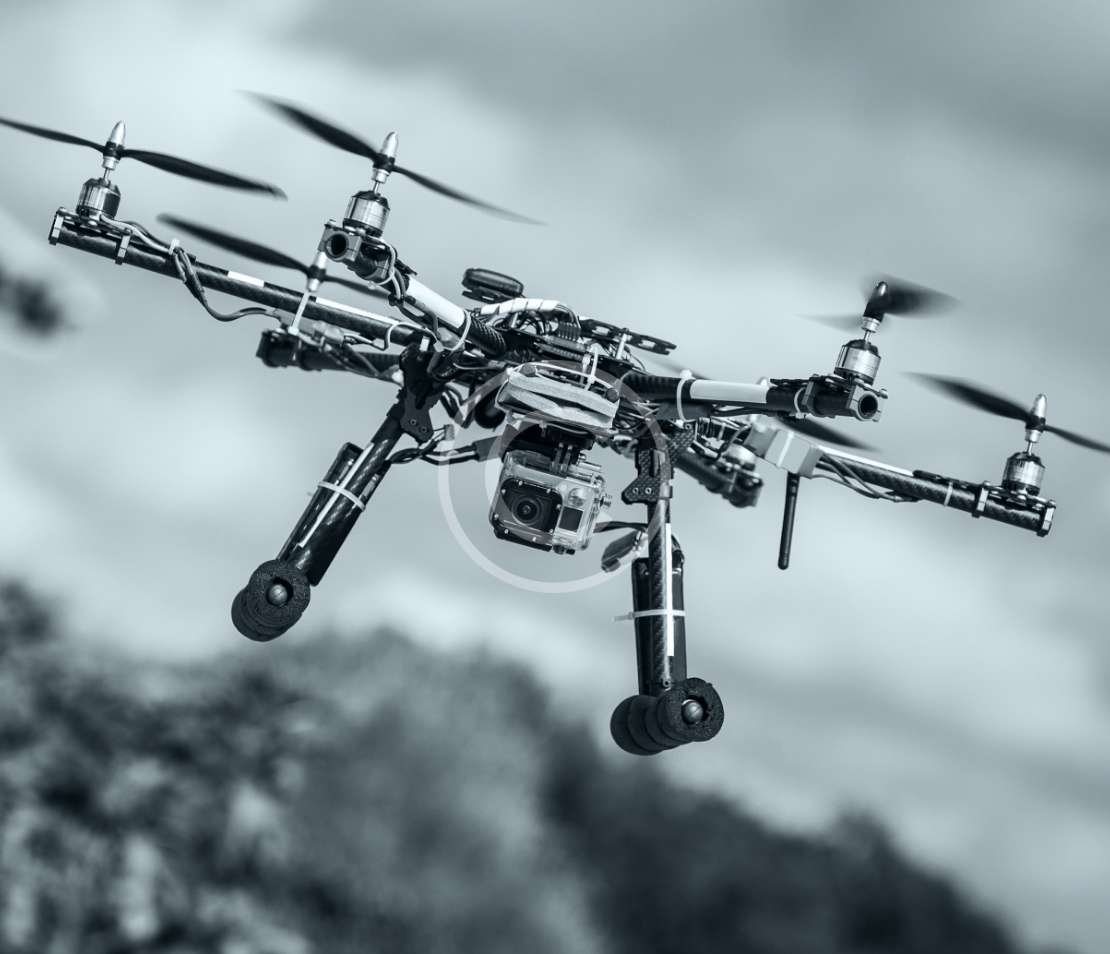
High-res cameras with live feeds to experienced inspectors, plus thermal options.
Detailed reports within 24-48 hours post-inspection.
Have a cool project?
Let's Start