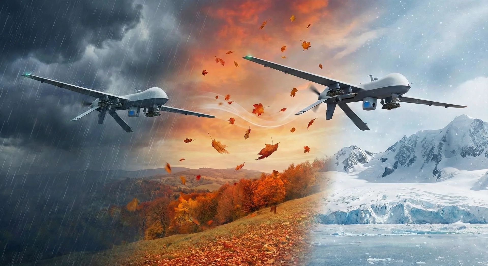
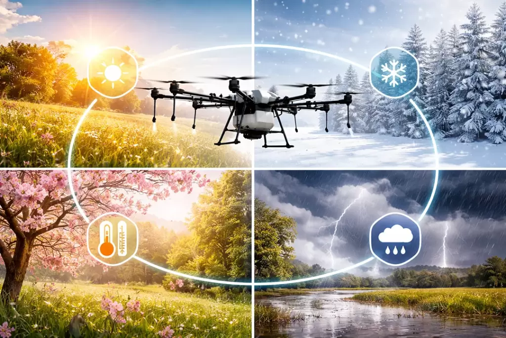
North Surrey Drones provides specialized UAV services for weather event assessments, aiding farmers, councils, and utilities in rapid damage detection and response. These operations cover road blockages, public safety issues, downed trees near power lines, earthquakes (EQ), high winds, floods, and water leaks in systems. Certified pilots deliver quick aerial views to form rescue and repair plans safely from the ground.
Service Scope
Drones scan large areas post-weather events, identifying hazards like fallen trees encroaching on power lines or blockages from floods and winds. Councils use real-time imagery for public safety prioritization, while farmers assess crop and infrastructure damage from storms or EQ events. Coverage extends to water system leaks and downed power infrastructure, enabling precise mapping without risking personnel.
Core Benefits
Rapid deployment offers bird’s-eye views of inaccessible sites, speeding up damage inventories and repair planning compared to ground teams. Safety improves by keeping staff out of harm’s way during high-risk conditions like high winds or floods. High-resolution data supports insurance claims, resource allocation, and preventive measures, reducing downtime for farms and roads.
Technology and Process
Equipped drones use cameras and sensors for detailed imagery, detecting issues like vegetation risks to power lines or flood pooling in drains. Operators cover expansive zones quickly, generating 3D models and reports for stakeholders like councils and utilities. Post-event flights provide before-and-after comparisons, aiding in EQ structural checks or wind-damaged tree assessments.
Ideal Applications
Farmers gain crop health insights after storms, spotting pest or flood damage early for targeted recovery. Councils locate road blockages and public hazards swiftly, facilitating clearances and safety alerts. Utilities monitor power lines and water systems for leaks or debris, preventing outages and ensuring compliance.